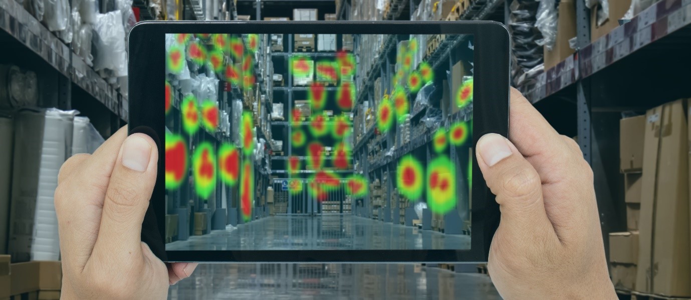
The advent of Geographic Information System (GIS) mapping tools and technologies has helped immensely in the processes of identifying, quantifying, and solving problems. GIS collects and analyzes location-based or spatial data. Observational safety data entails collecting, managing, and documenting all … Read More
Geographic Information System (GIS) mapping tools
Home » Safety Platform Blog » GIS Tools for Analysis and Predictive Solutions
